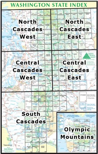
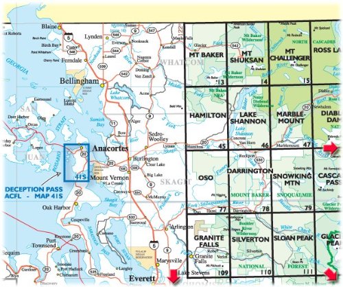
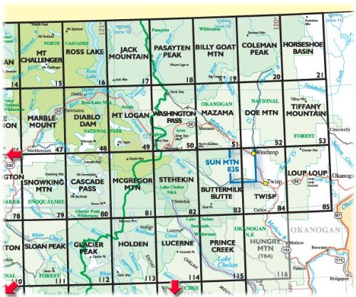
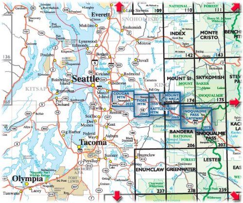
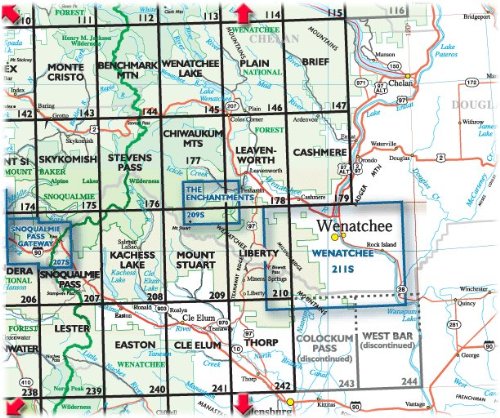
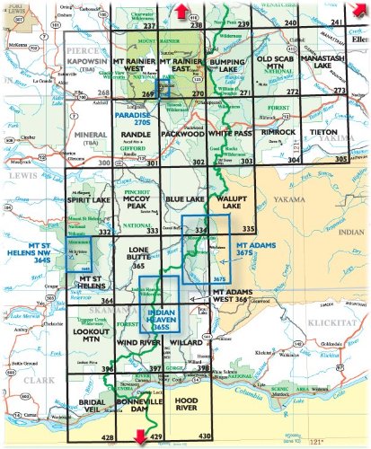


Green Trails, Inc, founded in 1973, publishes over 140 topographic recreation map titles for the most spectacular mountain, beach, and desert areas in North America including Washington and Oregon's Cascade Mountains, Washington's Olympic Peninsula, the Spring Mountains of Nevada, the parks of Phoenix, and the Sky Islands of Tucson. Green Trails Maps show the most current trail, road, and access information to national forests, national parks, state and local parks, and other public lands in the most clear, compact, and convenient format and scale available. Green Trails Maps have been the Northwest's first choice for hiking, backpacking, walking, climbing, mountaineering, cross-country skiing, mountain biking, fishing, horseback riding, and hunting for 30 years. Green Trails Maps are used by Cascade Mountain Rescue because they show trails that other maps don't.
TrustPilot
vor 2 Tagen
vor 2 Wochen
vor 3 Wochen
vor 1 Monat