Vintage 1805 Map Of Map Of Manchac And Baton Rouge | Desertcart GERMANY
Vintage 1805 Map of Map of Manchac and Baton Rouge District, Spanish West Florida Baton Rouge, East Baton Rouge Parish, Louisiana, Lousiana, Manchac, United States
Produkt-ID: 64428671
Sichere Transaktion
Häufig zusammen gekauft
Beschreibung
Map Size: 20 inches x 24 inches | Ready To Frame | Real Canvas Map | Archival Quality Reproduction on Fine Art Canvas | Satisfaction Guaranteed |
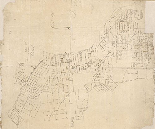
Description: 1805 map Map of Manchac and Baton Rouge District, Spanish West Florida.
Map Subjects: Baton Rouge | Baton Rouge La | Cadastral Louisiana | Manchac East Baton Rouge Parish | Manchac East Baton Rouge Parish | La | Manuscript Maps | Real Property |
1805 map Map of Manchac and Baton Rouge District, Spanish West Florida.
Häufige Fragen
TrustPilot
TrustScore 4.5 | 7.300+ Bewertungen
Abdullah B.
Toller Preis für ein authentisches Produkt. Auch schneller internationaler Versand!
vor 3 Wochen
Daniel L.
Die Lieferzeit war ausgezeichnet und die Verpackung sicher.